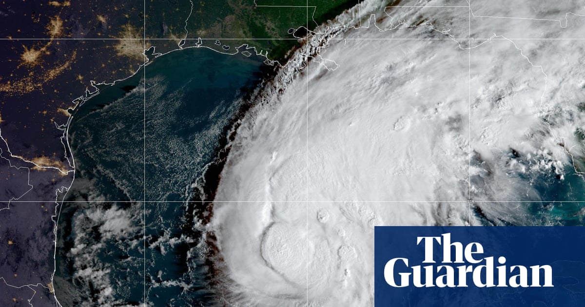
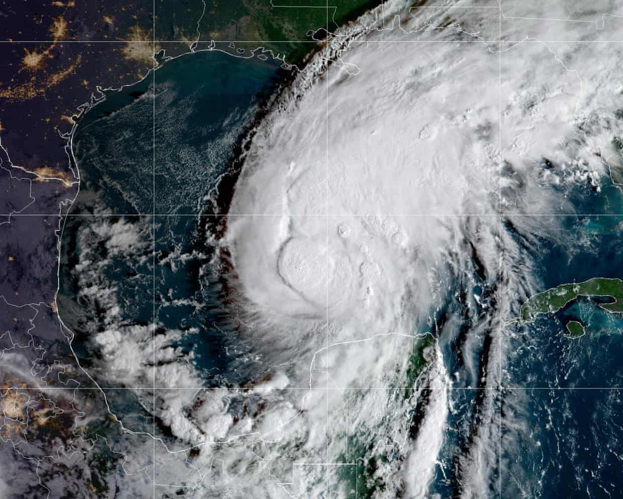
Hurricane Isaias forecast to bring dangerous storm surge, with millions under warnings in US
Residents in areas from the mouth of the Mississippi River to Florida urged to âÂÂevacuate if told to do soâÂÂ
Millions of people from Louisiana to Florida are under hurricane warnings on Thursday as Hurricane Isaias looked set to head towards the US Gulf coast with weather officials warning of dangerous storm surge, hurricane-force winds, heavy rainfall, and flooding.
Isaias intensified into a hurricane from a tropical storm on Wednesday night, becoming the first hurricane of the 2026 Atlantic hurricane season.
In an advisory on Thursday morning, the National Weather Service (NWS) said that Isaias, which is currently a category 1 hurricane with sustained winds of 85mph with higher gusts, is expected to pass to the north of the Yucatán peninsula later on Thursday before reaching the northern Gulf coast where it is expected to make landfall late Friday or early Saturday.
The NWS said that Isaias is âÂÂexpected to strengthen and be a strong hurricane when it approaches the northern Gulf Coast on Fridayâ and warned that a âÂÂlife-threatening storm surgeâ is expected along a portion of the northern Gulf coast.
Storm surge warnings, which are issued when there is a âÂÂdanger of life-threatening indundation from rising water moving inland from the coastlineâÂÂ, are in effect on Thursday from the mouth of the Mississippi River to Steinhatchee, Florida, and residents in the warning area have been urged to âÂÂfollow advice given by local officials and evacuate if told to do soâÂÂ.
Hurricane warnings, meaning that hurricane conditions are expected, are also in effect in the areas from Ocean Springs, Mississippi to the Bay/Gulf county line, Florida. The NWS has warned that âÂÂdamaging hurricane force-winds are expected over portions of the Florida Panhandle, southern Alabama, and southern Mississippiâ and urged residents to prepare for the possibility of âÂÂlong-duration power outagesâÂÂ.
The NWS warned on Thursday: âÂÂGusty winds are possible in portions of the Yucatan Peninsula today.âÂÂ
Isaias is also expected to bring âÂÂareas of heavy rainfallâ to the central Gulf coast and much of the south-east from Friday into the weekend, and the NWS said that flash and urban flooding, along with isolated river flooding, will be possible. From Friday through the weekend, Isaias is expected to produce rainfall amounts of three to seven inches across the central US Gulf coast extending from far south-eastern Louisiana to the Florida Big Bend region.
âÂÂLocalized totals up to 15 inches are possible, particularly within banding across the Florida Panhandle and Big Bend,â the NWS said.
Isolated tornadoes are also possible on Friday night in coastal areas of Alabama and the Florida Panhandle and far southwestern Georgia, the NWS said, adding that âÂÂthe tornado threat will continue Saturday for eastern Alabama, Georgia and northern Florida.âÂÂ
On Wednesday, the Alabama governor, Kay Ivey, declared a state of emergency in 40 counties, saying that the order âÂÂwill allow us to take any needed steps ahead of landfallâÂÂ. The emergency declaration is scheduled to remain in effect until 14 October.
The Florida governor, Ron DeSantis, also declared a state of emergency this week for 25 counties as the state prepares.
âÂÂThis order ensures communities have the time and resources necessary to prepare for potential severe weather impacts to the Panhandle and Big Bend region of Florida,â DeSantis said in the announcement.
At the local level, officials in Okaloosa county, Florida, declared a local state of emergency on Wednesday and ordered some residents in coastal areas to evacuate. Panama City also declared a local state of emergency âÂÂdue to the potential effects of Isaias and its near threat to the citizens and property in Panama City and surrounding communitiesâÂÂ.
Several school districts in Alabama and Florida have also announced closures ahead of Isaias.
The Federal Aviation Administration also warned on Thursday that Isaias may âÂÂlead to Gulf route closuresâÂÂ.
In Tennessee, the NWS office in Morristown warned that âÂÂremnants of Hurricane Isaias will bring heavy rain and strong, gusty winds to our area this weekend.â The office said that âÂÂhigh winds could top 60âÂÂ70+ mph in the eastern TN mountains and foothills, with isolated flash flooding possible in heavy rainfall areas.âÂÂ