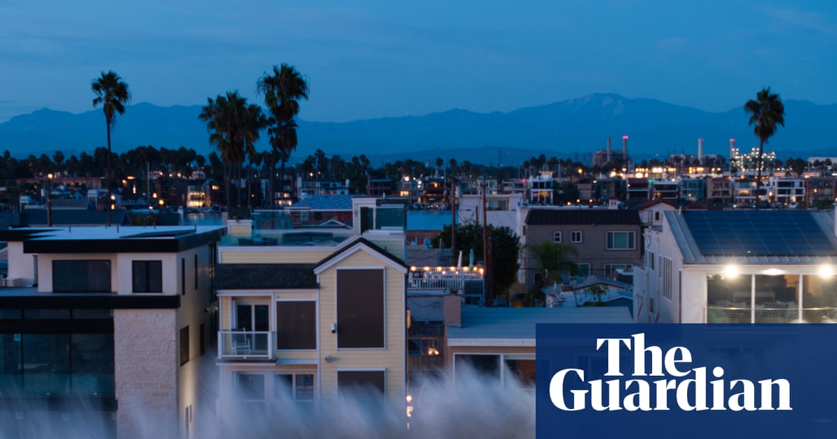

California rushes to prepare for massive âÂÂKelvinâ wave and predicted sea level rise
Wave nearing southern California expected to reach San Francisco Bay Area by October as it crawls toward Alaska
Communities across California are rushing to prepare for the imminent arrival of the so-called âÂÂKelvin waveâÂÂ, a massive underwater band of warm water threatening to inundate swaths of the vast North American shoreline.
The wave is nearing southern California and expected to reach the San Francisco Bay Area by early October, as it crawls toward Alaska. Waters could rise by a foot along the California coast, according to scientists, who have warned that this could dramatically double the 8-12in rise in sea levels already caused by climate change over the last century.
The Kelvin wave doesnâÂÂt climb and crash like a typical ocean wave; rather, it swells the tides from beneath the surface. ItâÂÂs effectively a massive slosh of warm water, driven by El Niño conditions, that moves across the Pacific before colliding with the South American coastline and surging north. It also wonâÂÂt transport water in the way a tsunami might, but creates conditions that enable higher sea levels to linger.
On their own, Kelvin waves arenâÂÂt always hazardous, according to Mike Jacox, a research oceanographer with the National Marine Fisheries Service, though they can reduce the growth of phytoplankton that form the base of the marine food web. âÂÂBut when there are very high tides or storm surges, their effects can be amplified,â he said.
If the rising waters coincide with other climatic events, such as rainstorms and high tides, the phenomenon could swallow beaches, chew away bluffs and coastlines, and submerge streets, homes and businesses.
âÂÂThis coming Kelvin wave is just the beginning,â said Dr Jonathan Warrick, a research geologist at the US Geological Survey. âÂÂThe thing to look out for is what will happen in January, February and March â thatâÂÂs when we get the biggest storms, we get our largest waves and we have some very large tides.âÂÂ
If these events align, their effects will compound, setting the stage for a tumultuous winter. Together, Warrick said, the systems will pack a far bigger punch. âÂÂWhen it comes to these storms and the tides,â he said, âÂÂwe really are kind of rolling the dice.âÂÂ
Excess warmth in the ocean, caused by the human-caused climate crisis, has already turned up the dial, supercharging weather events around the world. But a âÂÂsuperâ El Niño thatâÂÂs brewing in the Pacific â which could become the most severe ever recorded â has layered on top of that warming, and increased the likelihood that the higher sea levels will overlap with severe storms.
The climate pattern characterized by high sea surface temperatures in the central and eastern tropical Pacific is already spurring extreme weather around the world, fueling destructive storms in Hawaii and unleashing Pacific hurricanes that have hammered beach towns.
California will likely see the worst effects this winter when the state could get pummeled by moisture. Storms do damage on their own, but the most destructive occur alongside high tides, according to a recent memo from the California Coastal Commission â and the âÂÂsuperâ El Nino will increase the severity of both.
The highest tides of the year in areas of California will occur in November and December, further increasing water levels during the months when the state tends to be hit by wet weather.
âÂÂCoastal flooding is at this point practically certain,â climate scientist Daniel Swain said in an interview with Inside Climate News. He added that a wetter-than-average winter would also bring increased inland flooding risk. âÂÂBoth of these in some places can combine where you have freshwater outflows and saltwater inflows mingling,â he said. âÂÂThe damage can be devastating.âÂÂ

Swain pointed to the winter of 1997-1998, which exhibited similar hazards. Heavy storms caused massive coastal erosion, as enormous landslides ruptured and buried highways, and huge waves swept into harbors across Santa Cruz and the San Francisco Bay Area. Levees failed north of Sacramento and seawalls were overwhelmed, while relentless rains tore into thousands of homes and businesses. Twenty-one of CaliforniaâÂÂs 58 counties were declared disaster areas.
ItâÂÂs impossible to predict how exactly the season will unfold, but the El Niño forming now is swirling off the charts. Surface temperatures in the Pacific Ocean are warmer now than they were before the onslaught in 1997.
Several areas are already feeling the effects.
âÂÂJust the first few inches of elevation in southern California have already caused enough erosion to close the Amtrak line along the coast, and this is just the beginning,â Swain said. He noted that the San Francisco Bay Area is particularly vulnerable, due to the critical transportation arteries, population centers and big tech firms at risk of flooding, saying: âÂÂThereâÂÂs a huge amount of people and infrastructure within 6ft of sea level there.âÂÂ
Across the Bay Area, sandbags are already being supplied as emergency managers and local governments work to secure infrastructure and inform businesses and residents about the incoming dangers.
Nick Brubaker, the chief resilience officer for the office of emergency management in Marin county, just north of San Francisco, said preparations were already under way for El Niño when they received reports about how high sea levels will rise.
âÂÂIt certainly changes our baseline assumptions on how weâÂÂre going to be planning for impact,â he said, noting that in January of this year, there was flooding from high tides without the added effects from the Kelvin wave. Engorged creeks and streams will be less able to drain out in the face of rising sea levels. âÂÂWe could see some significant flooding,â Brubaker said.
There has also been work done to clear drains and culverts, evaluate infrastructure and rush through temporary mitigation measures, including securing flood barriers. Checklists have been issued, and emergency alert signups encouraged.
Similar strategies are unfolding in cities up and down the coast, as teams brace for whatâÂÂs an all-but-guaranteed rise in the risks, but a lot of uncertainty over what exactly will unfold. âÂÂWeâÂÂre using all of the data that we can, but we donâÂÂt have a perfect measure,â Brubaker said. HeâÂÂs been focused on outreach and communication, âÂÂto make sure that people are aware that this may be one of the most significant El Nino years that weâÂÂve seenâÂÂ.