

Balkan temperatures swing as heavy rain heads for Greece
Clear skies bring warm days and cold nights to Montenegro, while a low-pressure system moves towards Aegean Sea
Temperatures fluctuated dramatically in the Balkans last week, with unusually large differences between daytime highs and overnight lows â known as the diurnal range.
An area of high pressure over the region brought prolonged sunshine during the day, while clear skies at night allowed temperatures to drop rapidly as heat escaped into the atmosphere without cloud cover to slow the cooling.
In Kosanica, Montenegro, the average maximum temperature in October is 15C (59F), while the average minimum is 4C. However, on 4 and 5 October the difference between daytime highs and overnight lows reached 30C, more than double the October average.
Elsewhere in Europe, high pressure will build across the north and west over the coming week, pushing an area of low pressure southwards towards the Mediterranean. The low-pressure system will deepen as it crosses the Adriatic and Ionian seas before moving eastwards into the Aegean Sea by the middle of the week.
Spells of heavy rain and strong winds are expected to sweep across Greece as a result. Forecast models suggest widespread rainfall of 50-150mm, with the highest totals expected around the island of Skiathos.
Towards the end of the week, the system will continue eastwards, bringing showers to parts of Crete, which was hit by severe flooding a week earlier. Those storms swept some cars and trees into the sea.
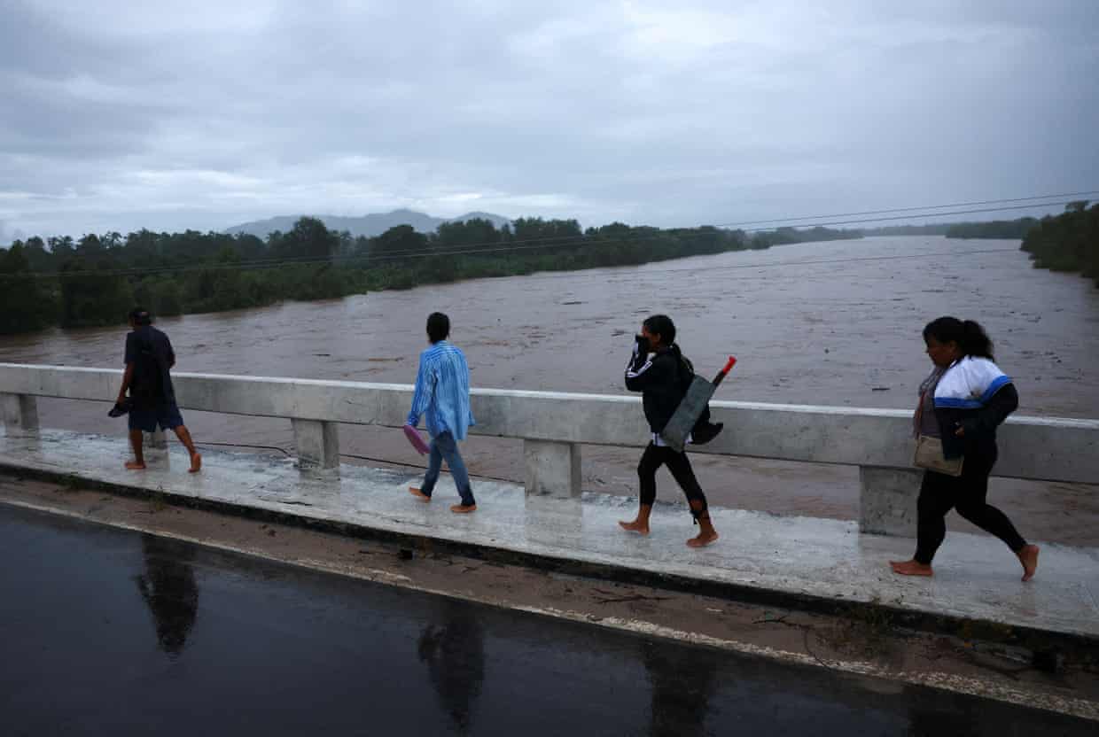
Meanwhile, Hurricane Simon, a category 4 storm, is moving close to MexicoâÂÂs Pacific coast, near the state of Jalisco. It is the latest of 21 named storms in the Pacific this season, 11 of which have reached hurricane strength.
At the time of writing, Simon has a central pressure of 933mb and maximum sustained winds of nearly 150mph (241km/h). However, the hurricane is expected to weaken rapidly if its core moves onshore, cutting it off from the warm ocean waters that fuel it.
Heavy rainfall is affecting south-western Mexico, where totals could reach 300-400mm across a wide area, rising to 400-500mm in the wettest locations.